We rely entirely on your essential support
We receive no funding from Government or the Emergency Services; our professional services are almost entirely funded by donations from people like you!
Please help in any way you can!
Donate here to make an instant payment to the team,
or if you prefer,
text DARTMOOR to 70085
(or scan the QR code here) to donate £2 via text!*

*Texts will cost the donation amount plus one standard network rate message. Please obtain bill payer’s permission.

If you’re considering undertaking something extraordinary and require sponsorship for a charity, consider fundraising for Dartmoor Search and Rescue Team Plymouth!
Click the link below and discuss with the Fundraising Officer. We're here to support you, so let us know your fundraising plans!
Additionally, you can support our cause and get a chance to win £25,000 through the SeaMoor Lotto where each weekly ticket costs £1. Numerous other prizes are also up for grabs. Since August 2018, we've celebrated 42 prize winners. Your valuable contribution not only aids us in saving lives but also helps us fulfil our mission.
Thank you for your generous support!
Individual Donations
easyfundraising
We’ve registered Dartmoor Search and Rescue Team Plymouth with easyfundraising, which means over 7,000 brands will now donate to us for FREE every time you use easyfundraising to shop with them. These donations will help SO MUCH, so please sign up to support us – it’s completely FREE and doesn’t take long.


or scan the QR code to get going!

Donate In Your Will
Making a private Will is crucial to ensure your wishes are respected after you pass away.
Consider leaving a legacy to Dartmoor Search and Rescue Team Plymouth, as it supports our lifesaving operations through any size or type of gift.
Your contribution helps provide training and equipment for our volunteers, enabling us to save lives now and in the future. If you plan to include us in your Will, please let us know so we can express our gratitude and show you how your gift will make a difference.

Corporate Donations
Join the Team in making a significant impact on our community's safety.
Your cash, equipment, or resource donations directly empower our dedicated volunteer team to respond swiftly and efficiently in emergencies, saving lives across challenging terrain.
Together, we'll create a safer environment and showcase your company's commitment to corporate social responsibility on our widely viewed social media channels.
See our Partners & Supporters page highlighting the many businesses who help support the aims and objectives of the team and by extension their wider community.
Dartmoor Walks & Ultras
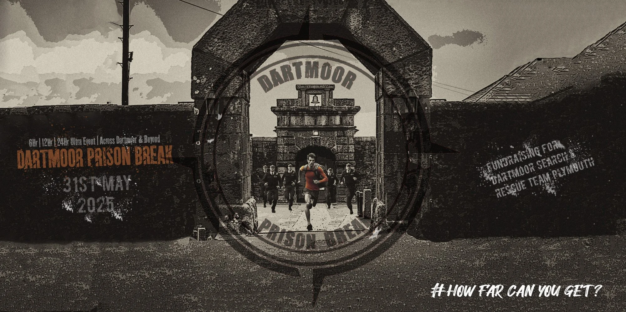
The team organises the Postbridge Challenge in February, Dartmoor Prison Break in May and Midnight Madness in July.
Teams raise funds through sponsorship, which is crucial to the team's annual budget and core functions. The team ensures the safety of all participants during the challenges.
Follow the link below to learn more about events coming up!
Collection Tins
If you would like to display one of our collection tins on your premises, please get in touch with our Fundraising Officer using this form
Dartmoor Walking Books
For over 40 years, Colin Ridgers has been a proud DSRTP member, bringing his unparalleled passion for Dartmoor to life.
Alongside his wife Heather, he’s co-authored Warrens & Men—a captivating deep dive into the fascinating history of Dartmoor’s rabbit warrens.
Together, they bring unmatched expertise as Voluntary Wardens and Colin’s experience as a Dartmoor Guided Walk Leader. Their knowledge of this iconic landscape is second to none — get ready to discover Dartmoor like never before!

Texts will cost the donation amount plus one standard network rate message. Please obtain bill payer’s permission.